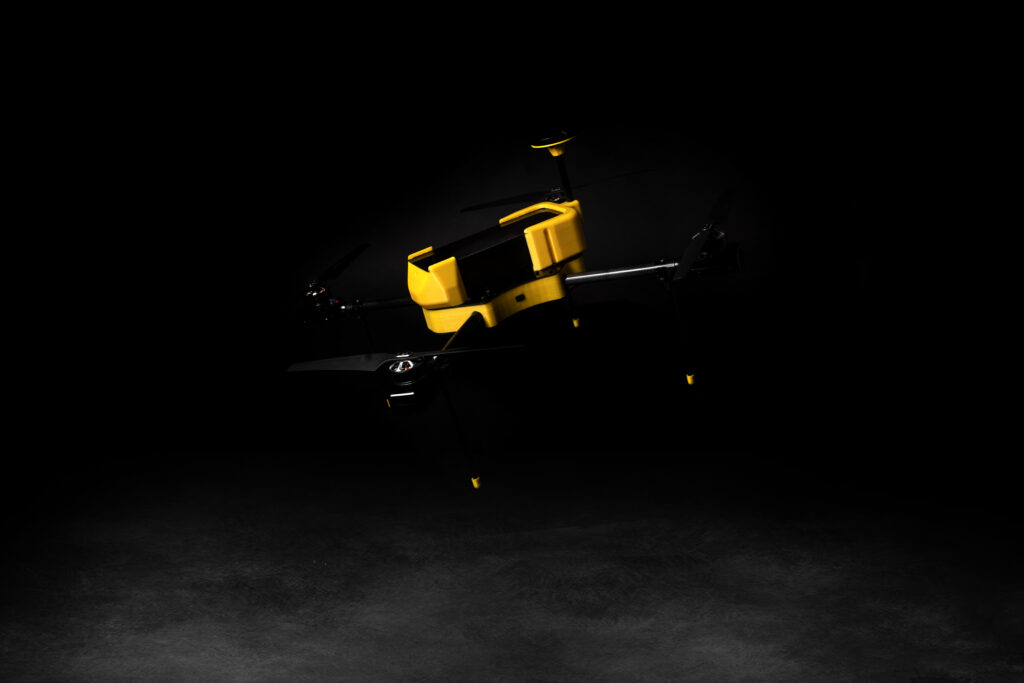
X6 UAV-Training Drone
X6 Training Drone - Unlocking Skills for Success
The X6 Training Drone, a specialized UAV meticulously crafted for training purposes, stands as a testament to the significance of hands-on learning in the realm of drone piloting. In a world where mastering the art of controlling unmanned aerial vehicles is pivotal, the X6 emerges as an indispensable tool, designed to empower aspiring pilots with the skills they need to soar above the competition.
X6 UAV
EagleEye’s X6 is Entry Level Cost effective, Small category Multirotor Uav upto 30 minutes of flight time for Training, GIS survey & agricultural vegetation mapping applications. It is Reliable, compact, Portable, Easy to deploy UAV. And optional PPK/ RTK survey grade system for precision surveying.
Features
- Quick Deploy
- Failsafe for Low battery & loss of communication.
- Autonomous operation from takeoff to Landing
- Carbon fibre & Aerospace grade aluminium for structural parts.
- Dual redundancy power system for autopilot.

Benefits of X6 Training Drone
- Realistic Simulations
- Skill Enhancement
- Cost-Efficiency
Applications of X6 Training Drone
- Drone Pilot Training in RPTO
X6 UAV
Entry Level Cost effective, Small category Multirotor Uav
Specifications
X6 UAV
RPA details
- Quadrotor Autonomous, semi-autonomous & manual.
- RPA Category: Multirotor, Small class
Power plant details
- Rugged BLDC motor & Brushless speed controller.
Equipment details
- MTOW: 3.6Kg.
- Wheel Base: 600mm.
Payload Compatibility
- 24mp still camera
- Multispectral camera
- Thermal Radiometric camera
C2 Link
- 2.4 GHz & ETA approved RC and receiver.
Applications
- Training for RPTO
- Aerial mapping
- Agricultural vegetation mapping
- Thermal Mapping for Inspection
C2 Link
- 2.4 GHz & ETA approved RC and receiver.
RPA details
- Quadrotor Autonomous, semi-autonomous & manual.
- RPA Category: Multirotor, Small class
Power plant details
- Rugged BLDC motor & Brushless speed controller.
Equipment details
- MTOW: 3.6Kg.
- Wheel Base: 600mm.
Payload Compatibility
- 24mp still camera
- Multispectral camera
- Thermal Radiometric camera
Performance Details
- Range: 500 meters.
- Altitude: 400 feet AGL.
- Training Envelope: 400 feet AGL & 500 mts LOS.
- Flight time: 30mins.
- Payload capacity: 500gms.
- Wind resistance: 20Km/hour
C2 Link
- 2.4 GHz & ETA approved RC and receiver.
Applications
- Training for RPTO
- Aerial mapping
- Agricultural vegetation mapping
- Thermal Mapping for Inspection